Travel Tips
Garmin GPS vs Phone Navigation Nepal
Phone navigation apps have closed much of the gap with dedicated GPS units for Nepal trekking. Here is when a Garmin still makes sense and when your phone is enough.
Overview
The navigation debate for Nepal trekking has shifted dramatically in five years. Offline mapping apps (Maps.me, Gaia GPS, Organic Maps) now provide detailed topographic maps of every major Nepal trekking route, downloadable for free or low cost, with GPS tracking that functions without cellular signal. For most standard teahouse routes, a smartphone with offline maps is a fully adequate navigation solution.
A dedicated Garmin GPS unit (eTrex 32x, Montana 700, GPSMAP 65s) adds genuine value in specific situations: battery life (dedicated GPS units provide 20-25 hours on AA batteries versus four to six hours of continuous GPS use on a smartphone), durability in extreme cold (dedicated GPS units function reliably at minus twenty degrees Celsius where smartphones often shut down), and screen readability in bright snow conditions where phone screens wash out.
The Garmin inReach Mini 2, specifically, adds two-way satellite messaging and SOS capability — a communication function your phone cannot replicate without cellular coverage. This is the most compelling reason to carry a dedicated Garmin unit on remote Nepal routes.
For standard well-marked routes (EBC, Annapurna Circuit, Poon Hill, Langtang), a phone with offline maps plus a Garmin inReach Mini 2 for emergency communication covers all practical needs at lower combined weight than a full-function Garmin GPS.
Planning this trip? 🎒
Don't stress about transport or guides. Sajilo offers verified cabs, luxury tourist buses, and expert guides across Nepal.
Download maps while on Kathmandu or Pokhara WiFi before heading to trailheads. Carry a 20,000 mAh power bank for daily phone top-ups. Keep the phone in an inner jacket pocket in cold conditions to maintain battery warmth.
FAQ
Q: Are Nepal trekking routes well enough marked to navigate without a GPS?
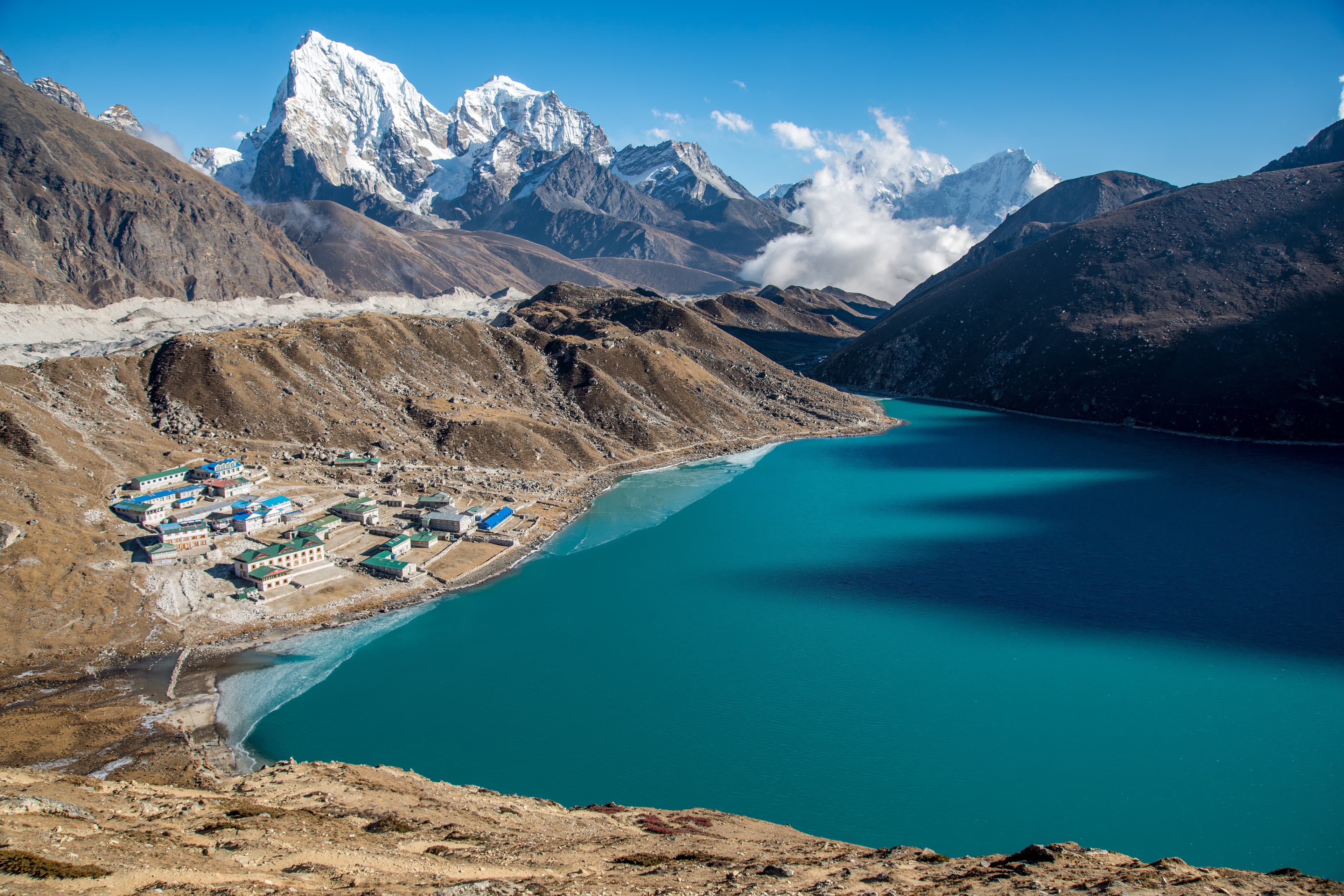
A: The major established routes (EBC, Annapurna Circuit, Poon Hill) are very well marked with teahouse signage. GPS is most useful in fog, snow conditions, or if you leave the main trail.
Q: Which offline map app is best for Nepal?
A: Gaia GPS has the most detailed topographic layers for Nepal. Maps.me has the largest community-contributed POI database including teahouse locations. Using both gives comprehensive coverage.