Travel Tips
Photographing the Annapurna Circuit
A visual journey through one of the world's greatest trekking routes.
Overview
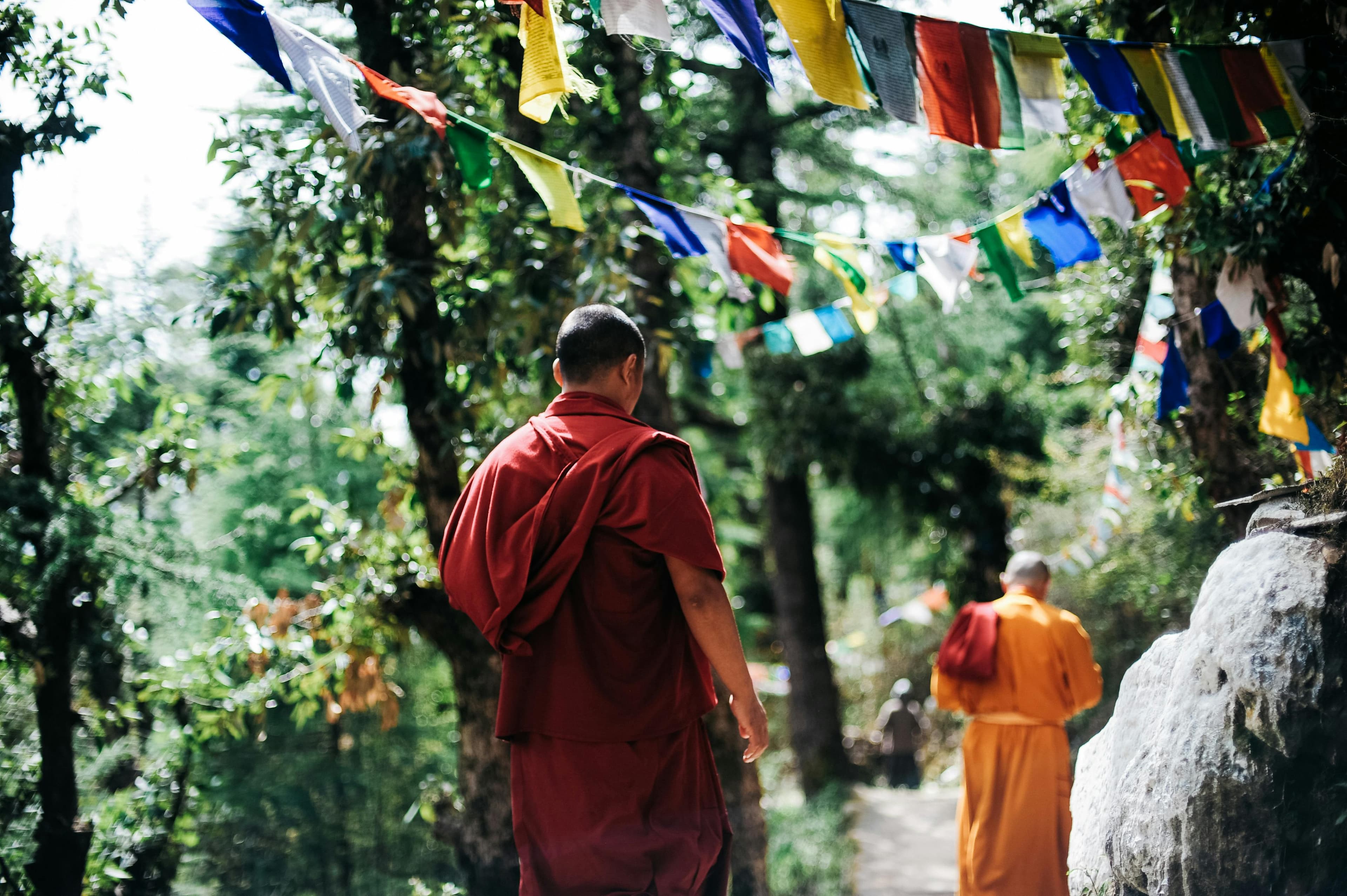
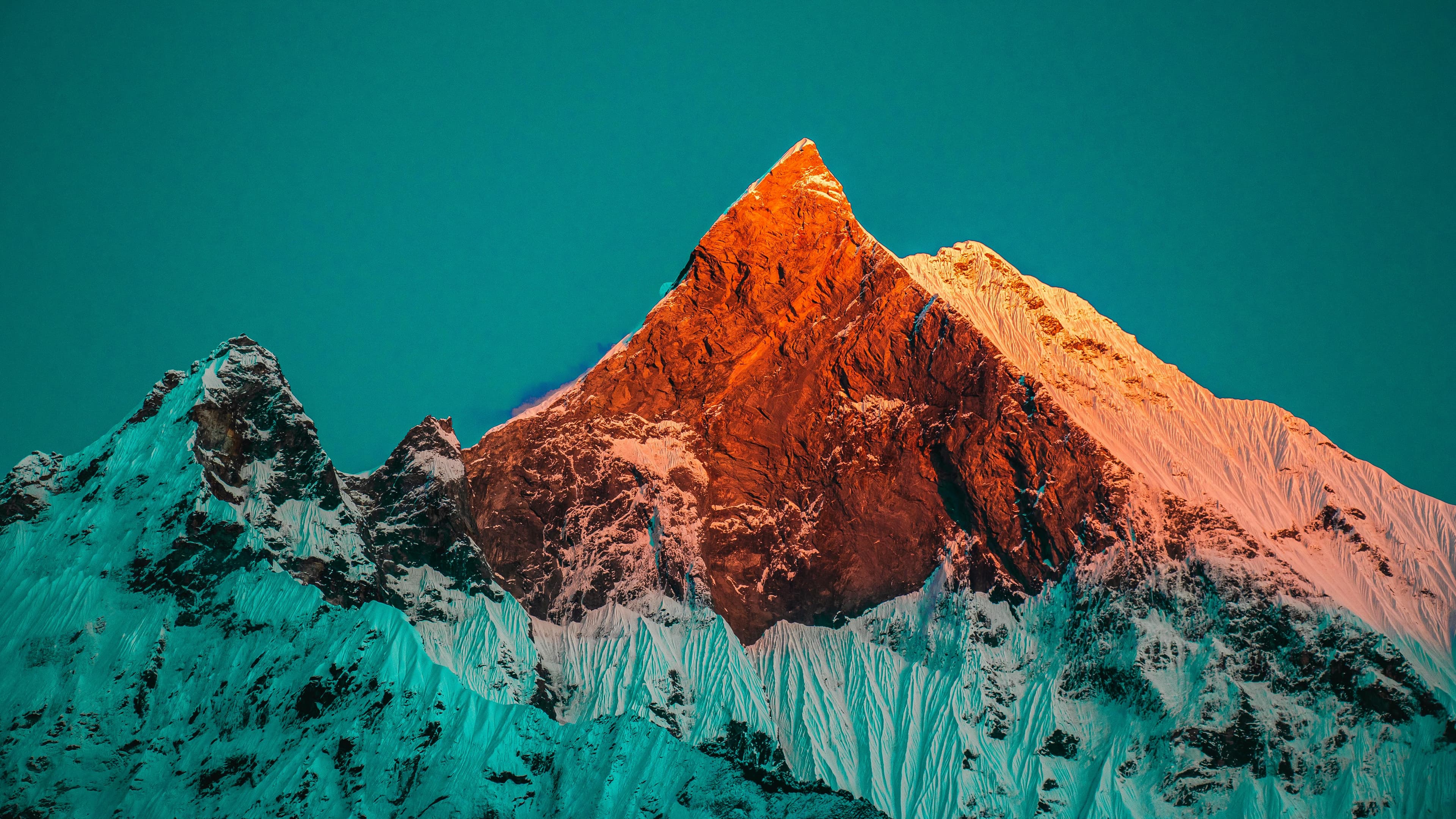
The Annapurna Circuit crosses a dozen distinct landscapes in its 160-kilometre arc from subtropical river valleys to the high desert of Mustang. For photographers, this diversity means a new visual language every two days: lush terraced rice paddies around Besisahar, medieval fortress towns like Manang, the stark ochre cliffs of the Thorong La approach, and pine forests scented with juniper smoke on the Jomsom descent. No single lens or single style serves the whole route — be prepared to switch between close-up botanical shots of rhododendrons and wide expanses of glaciated peaks.
FAQ
Q: What is the best section of the circuit for photography?
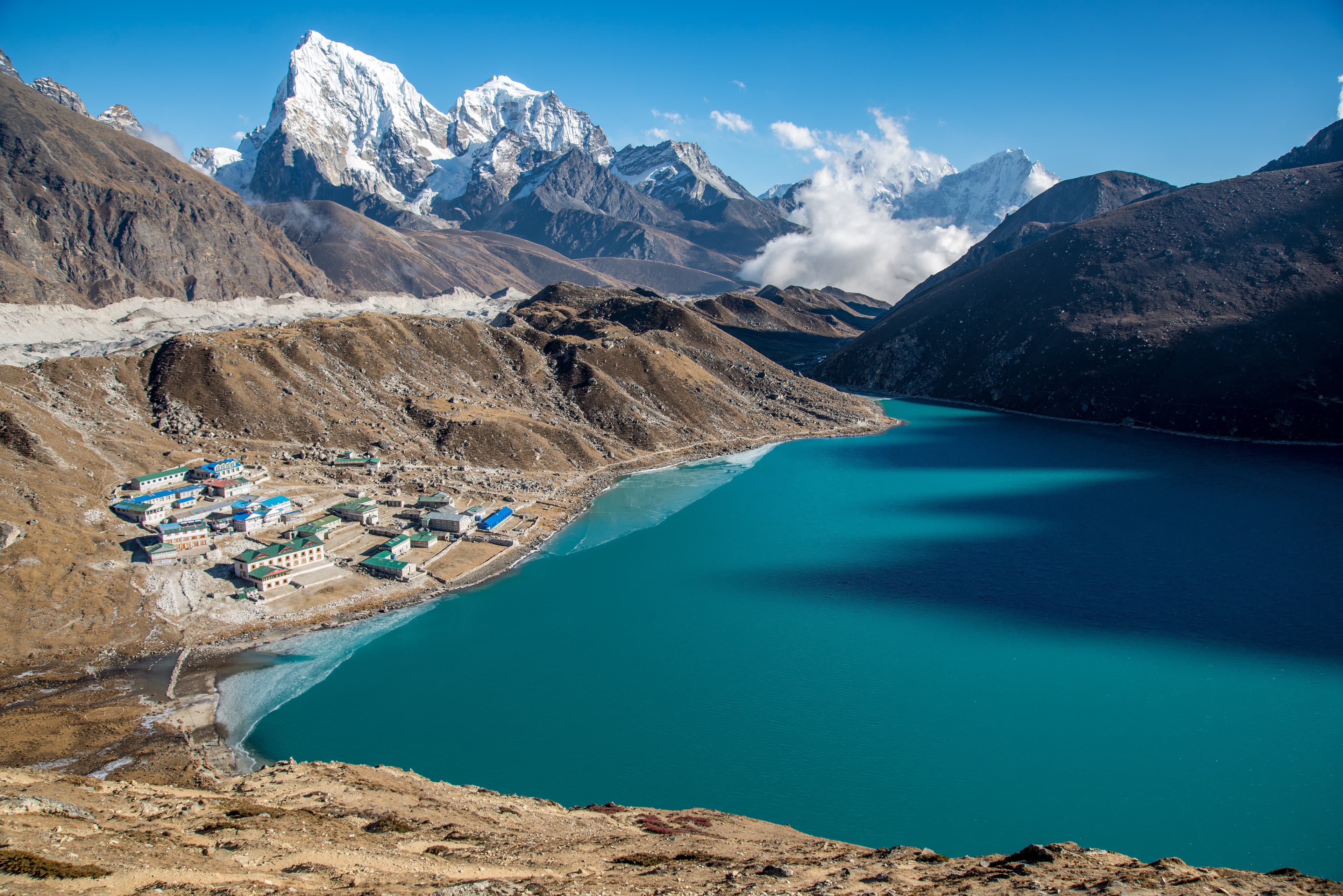
The stretch from Manang to Muktinath is widely considered the most visually arresting. The transition from green valleys to high-altitude desert happens over a single day, and Thorong La itself at 5,416 metres offers otherworldly compositions of prayer flags against an ink-blue sky.
Q: Can I charge batteries along the route?
Planning this trip? 🎒
Don't stress about transport or guides. Sajilo offers verified cabs, luxury tourist buses, and expert guides across Nepal.
Yes, most lodges charge a small fee (NPR 200–500 per charge) for electricity. Solar panels power many guesthouses in the higher sections. Bring at least two spare batteries and a compact power bank for security.