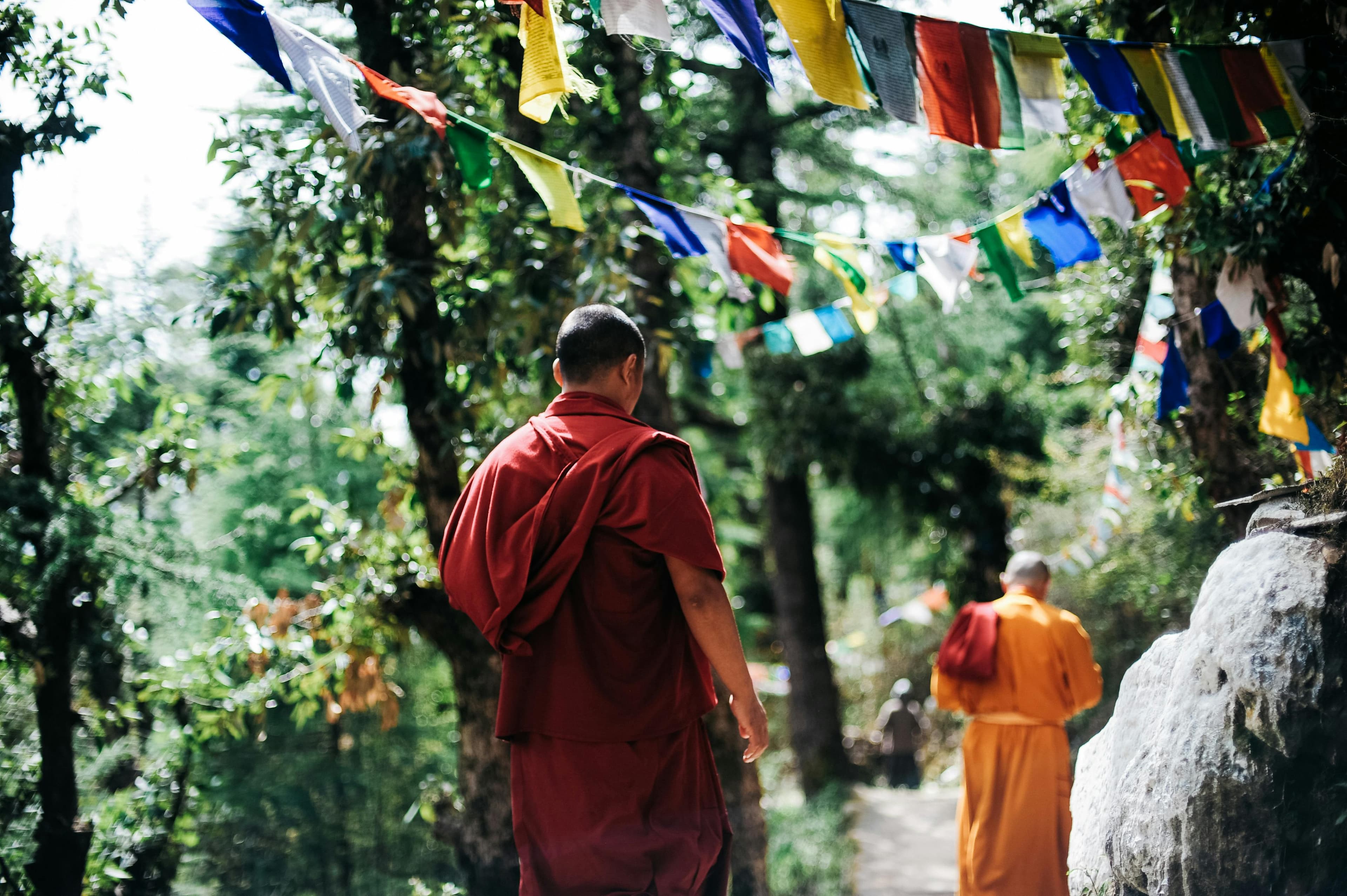
Travel Tips
Annapurna Circuit Best Season Guide
When to trek the Annapurna Circuit — crossing Thorong La at 5,416 m requires the right weather window. Here's how each season affects this classic Himalayan loop.
Overview
The Annapurna Circuit is one of the world's great trek routes, circling the entire Annapurna massif through a remarkable diversity of ecosystems — subtropical forests, high desert, alpine meadows, and glacial valleys. The defining challenge is Thorong La pass at 5,416 m. This crossing is weather-dependent; snow and high winds can close it for days at a time. Choosing the right season is the most important planning decision for the Circuit.
Autumn (October–November) — Peak Season
October is the most popular month for the Annapurna Circuit. Post-monsoon clarity gives excellent views across the Annapurna range, and Thorong La is reliably open with stable conditions. The Kali Gandaki gorge — one of the world's deepest — is spectacular under autumn light.
Afternoon winds funnel up the Kali Gandaki gorge and can be strong. On the Thorong La crossing day, start before 5 am to summit the pass before afternoon clouds and wind build. Most trekkers departing Thorong Phedi by 4:30–5:00 am summit by 9:00–10:00 am.
Crowds on the Annapurna Circuit are significant in October but more spread out than on the EBC trail, which is more linear. Manang and Thorong Phedi lodges fill quickly — reserve as you walk.
Planning this trip? 🎒
Don't stress about transport or guides. Sajilo offers verified cabs, luxury tourist buses, and expert guides across Nepal.
Spring (March–May) — Second Best
Spring offers the rhododendron forests between Ghorepani and the Annapurna foothills in full bloom. Thorong La typically opens by mid-March. April is the prime spring month — warm, clear mornings and dramatic views. May sees increasing pre-monsoon cloud buildup but the pass remains open.
The added bonus of spring on the Circuit is lush, green landscapes throughout the lower sections. Rivers run strongly with snowmelt. The contrast between the green subtropical Marsyangdi valley and the high desert of Mustang is particularly dramatic.
Monsoon (June–September) — Upper Mustang Only
The standard Annapurna Circuit route is not recommended during monsoon due to landslides on the Besisahar-Chame road, muddy trails, leeches in lower forests, and blocked mountain views. However, the Upper Mustang section (Lo Manthang and the high plateau behind the Annapurna rain shadow) is accessible and dry. This requires a separate restricted area permit.
Winter (December–February) — Thorong La Risk
Thorong La can close under deep snow from late December through February. Crossing attempts during these months carry real risk. The pass has claimed lives during unexpected winter storms. Experienced mountaineers with winter camping gear can attempt it, but standard trekkers should plan alternative routes.
The lower Annapurna Circuit — from Besisahar to Manang, or the Kali Gandaki section from Tatopani to Pokhara — is enjoyable in winter without attempting the pass. Poon Hill is a perfect winter alternative.
Trekking Direction: Clockwise or Counterclockwise?
Most trekkers walk the Circuit clockwise (Besisahar → Manang → Thorong La → Muktinath → Jomsom → Pokhara). This direction means ascending Thorong La from Thorong Phedi, which is the standard approach. Counterclockwise is steeper on the descent from the pass into Manang and is less common.
FAQ
Q: How difficult is Thorong La physically?
The pass itself involves a 1,600 m ascent from Thorong Phedi (4,540 m) to the summit (5,416 m), usually completed in 4–6 hours. The altitude is the primary challenge, not technical terrain. The trail is well-marked with cairns and prayer flags. No climbing equipment is needed under normal conditions.
Q: What happens if Thorong La is closed?
If the pass is closed by snow or wind, trekkers wait in Thorong Phedi or Manang until conditions improve. Most closures last 1–3 days. Hiring a local guide who knows the pass conditions is valuable. There is no alternative route over the Annapurna massif — the only other option is to retrace your steps.