Destinations
Nepal Terai Plains Travel Guide
The Terai — Nepal's flat southern belt bordering India — is the country's most populous, most productive, and most culturally diverse region, yet it receives a fraction of the attention given to the mountains.
What is the Terai?
The Terai is the northern extension of the Gangetic Plain, a flat belt 20-30km wide running the full 800km length of Nepal along the Indian border. It sits at altitudes between 60m and 300m, giving it a subtropical climate radically different from the mountains visible to the north. The Terai holds over 50% of Nepal's population on roughly 17% of its land area, produces the majority of the country's food crops, and contains most of its largest cities.
Eastern Terai: Jhapa and Morang
The far east is Nepal's most fertile agricultural zone. Jhapa district produces rice, tea, and jute. The towns of Bhadrapur, Damak, and Birtamod service a prosperous farming economy. The Kakarbhitta border crossing leads to Siliguri and Darjeeling in West Bengal. Koshi Tappu Wildlife Reserve in the eastern Terai protects one of Asia's most important wetland bird habitats along the Koshi River.
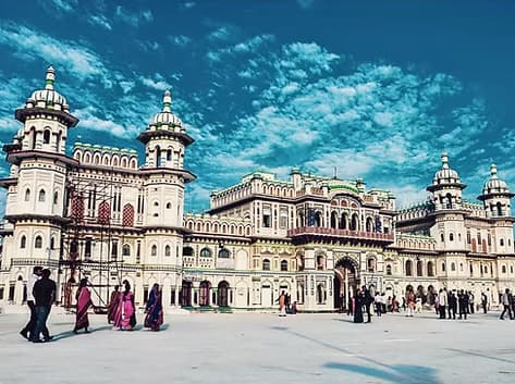
Central Terai: Janakpur and the Madhesh
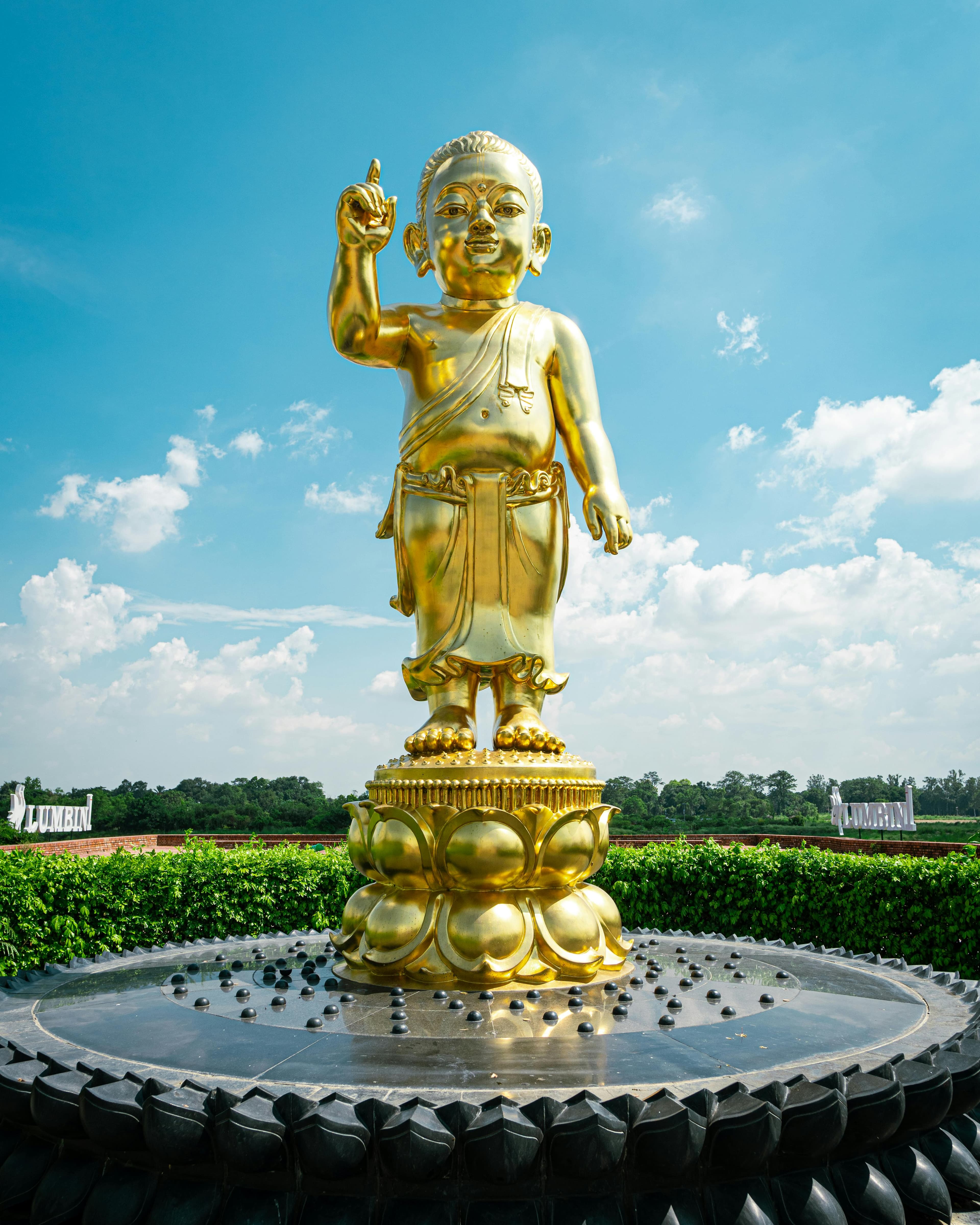
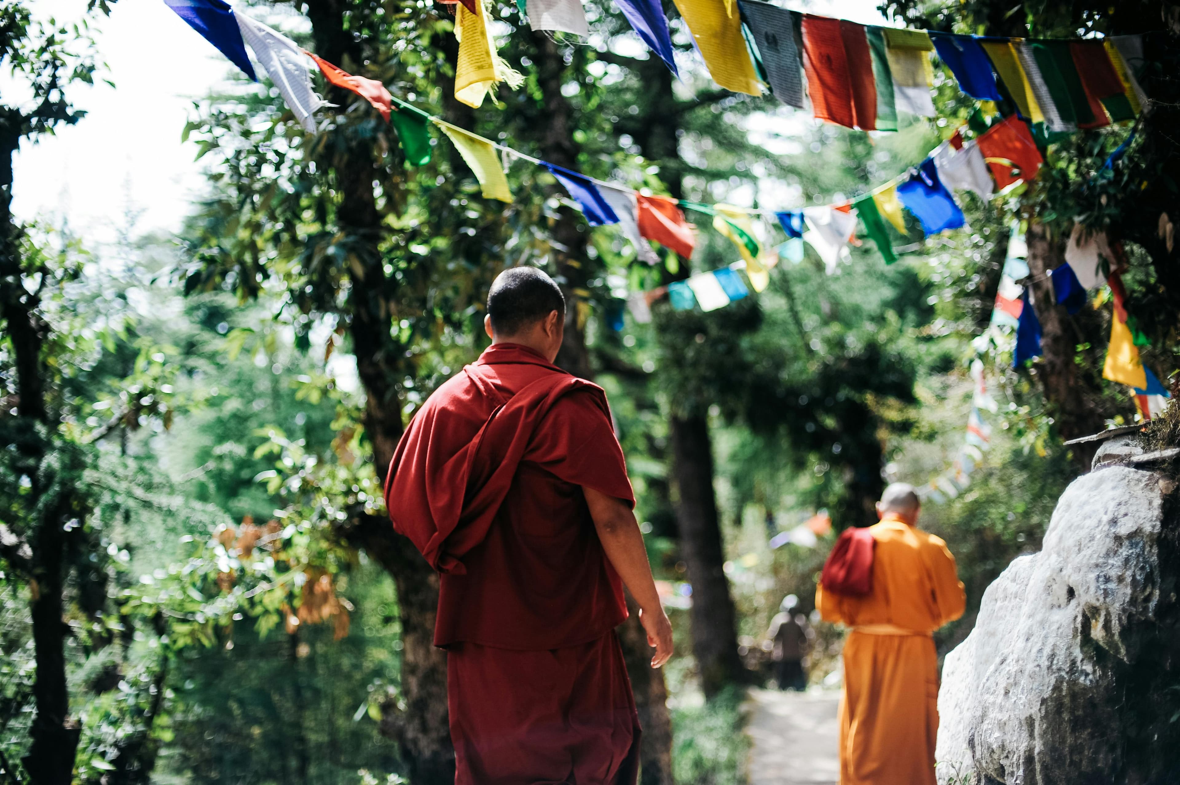
The central Terai holds Nepal's second-largest cultural identity: the Maithili-speaking population with their distinct script, art tradition (Mithila painting), and Hindu heritage centred on Janakpur. This area also holds the Lumbini zone (Rupandehi district), one of the world's great sacred sites. Birgunj, the busiest land border crossing with India, is in this belt.
Western Terai: Chitwan and Narayanghat
The Chitwan district holds the Chitwan National Park — Nepal's most visited protected area — and Narayanghat, a growing commercial city at the junction of the Trishuli and Narayani rivers. The mid-western Terai around Dang Valley is one of Nepal's most underappreciated regions: an inner-Terai bowl of forested hills and prosperous farming communities.
Planning this trip? 🎒
Don't stress about transport or guides. Sajilo offers verified cabs, luxury tourist buses, and expert guides across Nepal.
Far Western Terai: Bardia to Mahendranagar
The far western Terai holds Bardia National Park, Shuklaphanta National Park, and the cities of Nepalgunj and Dhangadhi. This is Nepal's most thinly visited corner. The Tharu culture is strongest here, with traditional villages, festivals, and a relationship with the jungle ecosystem developed over centuries.
Why Travel the Terai?
The Terai offers a Nepal that most trekking visitors never see: urban markets, agricultural landscapes, border-zone commerce, and cultural traditions that owe more to the Gangetic plains than to the high Himalaya. Sajilo operates in the major Terai cities and makes moving through this corridor practical.
FAQ
Is the Terai too hot to visit?
April through June is extremely hot (40C+ in some areas). October through March is the comfortable window. November to February is outright pleasant.
Is the Terai safe?
Yes. The major cities and tourist sites are safe for travellers. Common-sense precautions apply as in any urban environment.
What is the most culturally interesting part of the Terai?
Janakpur for Mithila art and Hindu pilgrimage culture. The Tharu villages of Bardia for indigenous culture in a jungle setting.